442.02 Regional Bike Route Engiadina Bassa: Ftan – Ramosch


Show all 9 images

Details
Description
The long, high-altitude ride into Val Sinestra is technically easy and allows views of the picturesque and spooky Val Sinestra spa house and the earth pyramids near Zuort. The Prümaran da Muranza at the highest point of the tour lies idyllically above Zuort in Val Laver and presents a view of the last kilometres of the tour.
In Zuort, at the confluence of the Aua da Laver and Brancla rivers, it is worth stopping for refreshments in the restaurant, which is open all year round, before heading down the left side of the valley to Vnà and on the descent to the day's destination Ramosch, at the foot of the Tschanüff castle ruins.
Geheimtipp
Sicherheitshinweis
Emergency call:
144 Emergency call, first aid
1414 Mountain rescue REGA
112 International emergency call
Consideration for hikers
Most of the mountain bike routes in Graubünden run on single trails that are also signposted as hiking trails. Hikers always have the right of way.
Ausrüstung
Directions
- PostBus stop "Ftan, cumün
- Ftan Pitschen
- Garni Munt Fallun
- Mot Morel
- Direction Scuol
- Above Spitals
- left towards Pazos
- Tuffarolas
- Restaurant Vastur
- Sent
- Chern
- Direction Val Sinestra
- PostBus stop Chavriz Pitschen
- Val Laver
- Prümaran da Muranza
- Zuort
- Vnà
- Ramosch
Directions
Public Transport
- By Rhaetian Railway (from Chur, Prättigau or Upper Engadine) or by PostBus (from Martina, Sent or Tarasp) hourly to Scuol-Tarasp station.
- Direct hourly PostBus connection from Scuol-Tarasp bsi to the PostBus stop Ftan, cumün.
Arrival information
- From the north: via Landquart - Klosters by car transport through the Vereina Tunnel (Selfranga - Sagliains) or via the Flüela Pass into the Lower Engadine on H27.
- From the east: via Landeck / Austria in the direction of St. Moritz on H27
- From the south: via Reschenpass (Nauders-Martina) or Ofenpass (Val Müstair-Zernez) on H27
- Ftan can be reached from the Engadine road H27 from Ardez or from the western end of the village of Scuol in 10 minutes by car (25 minutes drive from Veraina south portal).
Parken
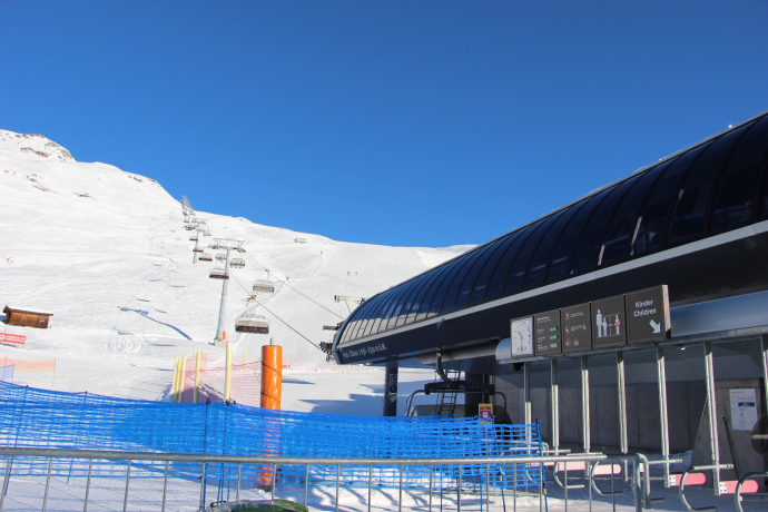
- Paid parking in Ftan at the valley station of the chairlift Ftan-Prui
Responsible for this content Tourism Engadin Scuol Samnaun Val Müstair AG.
This content has been translated automatically.

This website uses technology and content from the Outdooractive platform.


