Motta Naluns
Geschlossen
Simple
2.4 km
0:15 h
164 mhd
164 mhd


Show all 7 images

2.5 km high altitude/panoramic cross-country ski run for classic and skating on Motta Naluns (circular track).
Best Season
Jan
Feb
Mär
Apr
Mai
Jun
Jul
Aug
Sep
Okt
Nov
Dez
Start
100 m from the Motta Naluns mountain station in the direction of Prui
Destination
100 m from the Motta Naluns mountain station in the direction of Prui
Coordinates
46.810641, 10.269665
Details
Description
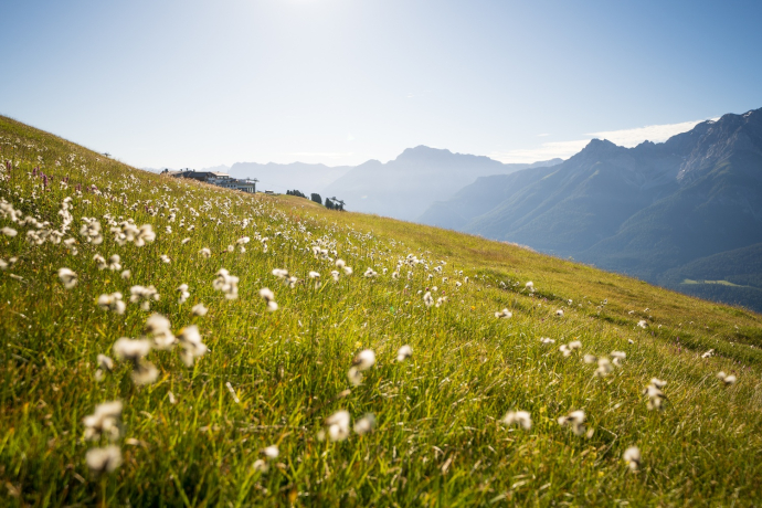
High plateau with easy ascents and easy descents. Panoramic view of the Lower Engadine Dolomites and the Val S-charl.
Sicherheitshinweis
The trail is regularly groomed when conditions are good. Please note the condition reports in the winter sports report. The tour was assessed in favourable weather conditions, current snow and weather conditions must be noted before starting.
Emergency call:
144 Emergency call, first aid
1414 Mountain rescue REGA
112 International emergency call
Ausrüstung
Cross-country skiing equipment, trail pass, sun protection, drinks.
Directions
Walk from the Motta Naluns mountain station in the direction of Prui
Start of cross-country ski trail
Round track
Back to the start
Directions
Public Transport
- By train Disentis/Mustèr to Scuol-Tarasp terminus
Arrival information
- From the north: via Landquart - Klosters by car transport through the Vereina Tunnel (Selfranga - Sagliains) or via the Flüela Pass to the Lower Engadine on H27
From the east: via Landeck / Austria in the direction of St. Moritz on H27
From the south: via Reschenpass (Nauders-Martina) or Ofenpass (Val Müstair-Zernez) on H27
Scuol is on the Engadine road H27
Parken
- Paid parking available at the cable cars
Responsible for this content Mals/Burgeis-Schluderns-Glurns.

This website uses technology and content from the Outdooractive platform.


