Motta Naluns - Prui - Motta Naluns (barrier-free / wheelchair)
Difficult
1.8 km
2:00 h
10 mhd
97 mhd


Show all 4 images

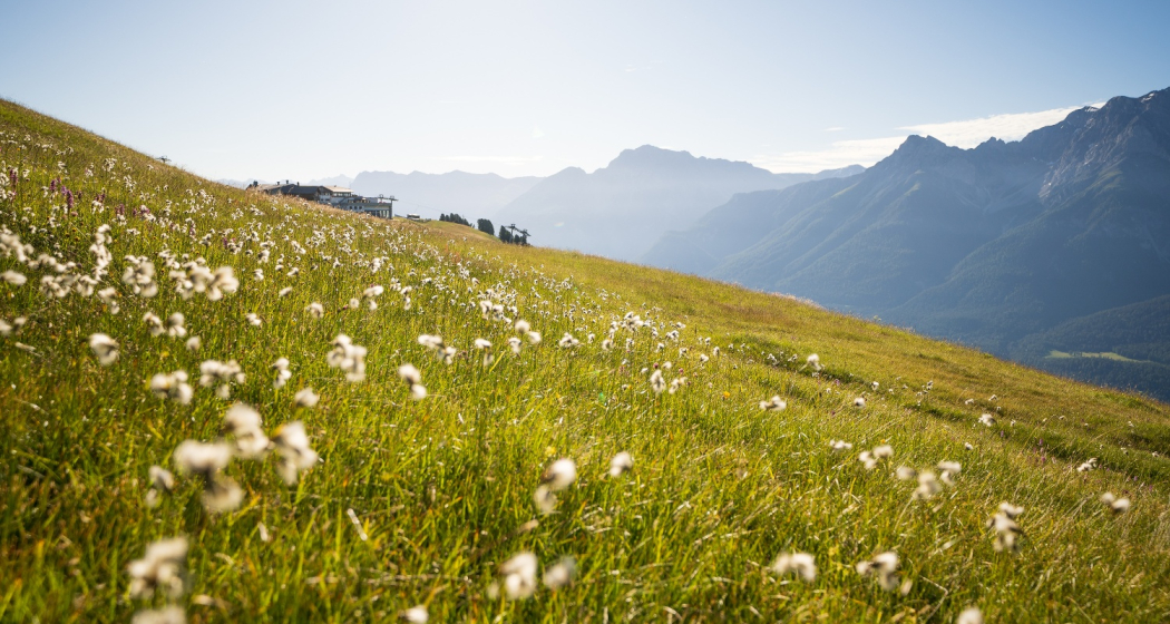
Get up high in a wheelchair. Thanks to the Motta Naluns mountain railway, the big climb is made easy. Enjoy the view on the high-level trail to Prui.
Best Season
Jan
Feb
Mär
Apr
Mai
Jun
Jul
Aug
Sep
Okt
Nov
Dez
Start
Motta Naluns
Destination
Motta Naluns
Coordinates
46.810952, 10.271699
Details
Description
The barrier-free Motta Naluns mountain railway takes you to your starting altitude. The trail leads along the slope to Prui. There are always wide drainage channels along the way.
The way back leads along the same path and is a little more strenuous than the way out, as you are now always travelling gently uphill.
Geheimtipp
The mountain restaurant on Motta Naluns can be visited at ground level. A toilet facility with EuroKey is available on site.
The Prui mountain restaurant invites you to enjoy a refreshment. The toilet facilities are not accessible.
Sicherheitshinweis
The tour was evaluated in favourable weather conditions, the current weather conditions and weather forecasts must be observed before the start of the tour.
Emergency call:
144 Emergency call, first aid
1414 Mountain rescue REGA
112 International emergency call
Ausrüstung
Active wheelchair, possibly with MTB tyres. An accompanying person may be able to help with the water channels.
Directions
From Suol with the mountain railway to Motta Naluns
Along the high trail to Prui and back again
Directions
Public Transport
- By Rhaetian Railway (from Chur, Prättigau or Upper Engadine) or by PostBus (from Martina, Sent or Tarasp) hourly to Scuol-Tarasp railway station
- tarred connection to the Motta Naluns valley station. (small ramp with 10% gradient)
Arrival information
- From the north: via Landquart - Klosters by car transport through the Vereina Tunnel (Selfranga - Sagliains) or via the Flüela Pass to the Lower Engadine on H27
- From the east: via Landeck / Austria in the direction of St. Moritz on H27
- From the south: via Reschenpass (Nauders-Martina) or Ofenpass (Val Müstair-Zernez) on H27
Parken
There are two signposted wheelchair parking spaces at the valley station in front of the HG construction shop
Responsible for this content Tourism Engadin Scuol Samnaun Val Müstair AG.

This website uses technology and content from the Outdooractive platform.