Tschlin – Chaflur – Strada (30-minute sledge run)
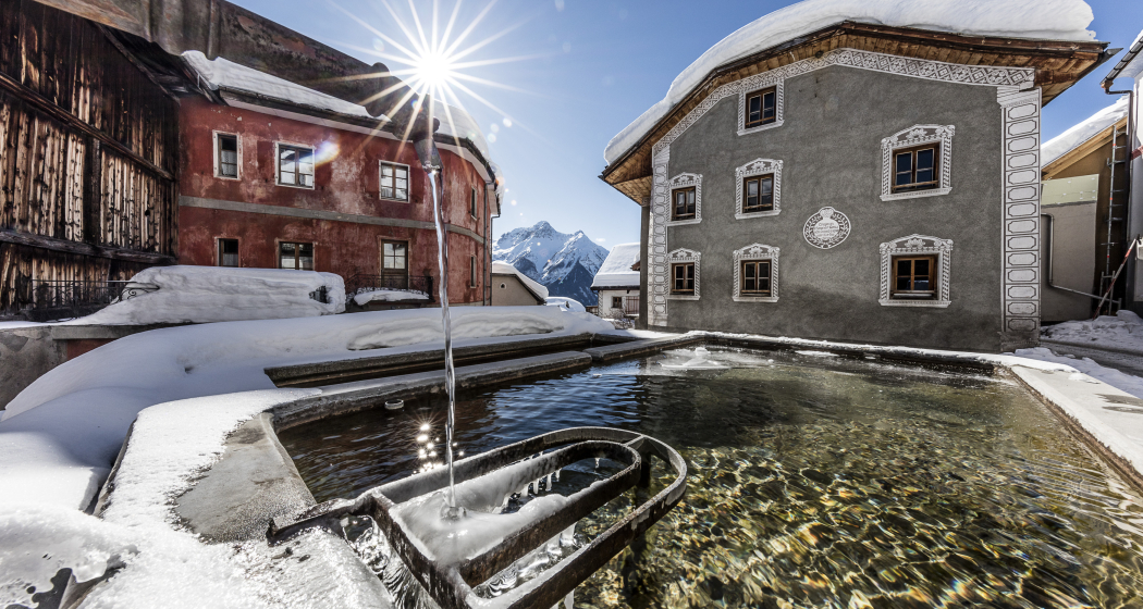
Medium
4.9 km
0:30 h
32 mhd
456 mhd
Tschlin – Chaflur – Strada (30-Minütiger Schlittelweg) (oua_32258433_image)
Motta – Seraplana (oua_31961205_image)

Show all 4 images

Tschlin – Chaflur – Strada (30-Minütiger Schlittelweg) (oua_31941741_image)
Long toboggan run in the easternmost tip of Switzerland with a wide view and rapid descents through the forest. The starting point can be reached from Tschlin within a ten-minute walk.
Technique 2/6
Fitness 3/6
Highest Point  1501 m
Lowest Point  1076 m
Best Season
Jan
Feb
Mär
Apr
Mai
Jun
Jul
Aug
Sep
Okt
Nov
Dez
Start
Tschlin
Destination
PostBus stop Strada, Sclamischot
Coordinates
46.876924, 10.440982

Details

Description

The toboggan run starts east of Tschlin. After about 30 minutes on foot, you reach the junction towards Martina and thus the starting point of the panoramic sledging trail. Along the way, picturesquely situated benches invite you to rest and enjoy the wintry view. In a large bend at Balsarom, the trail enters the forest of the same name with faster sections. After the third bend, you reach the winter hiking trail between Martina and Strada and follow it to the right or westwards for about 750 metres. From here, the toboggan has to be pulled for a few metres to then be able to ride the fast-paced final section. From the hamlet of Chaflur, you slowly but surely approach the end of the trail, which is located in front of the bus stop Strada i. E., Cuncalada. From the first bend to the right, the path becomes steeper.

Be careful at high speed because of the narrow bends and of winter hikers you might meet on the path.

Geheimtipp

The Engadin Scuol Zernez holiday region has a lot to offer. We reveal our insider tips at engadin.com/secret-tips, but shhh...!

Sicherheitshinweis

The trail is groomed after each snowfall. Please note the condition reports in the winter sports report. The tour was assessed in favourable weather conditions, current snow and weather conditions must be noted before starting.

Emergency call:

144 Emergency call, first aid

1414 Mountain rescue REGA

112 International emergency call

Ausrüstung

Sledges, high and sturdy hiking boots or winter boots, warm clothing, sun protection, gloves and helmet recommended.

Directions

  • After about 30 minutes on foot, you reach the turnoff towards Martina and thus the starting point of the toboggan run
  • After the third bend, you reach the winter hiking trail between Martina and Strada and follow it to the right or westwards for about 750 metres
  • From the hamlet of Chaflur, head towards the end of the trail, which is located in front of the bus stop Strada i. E., Cuncalada

Directions

Public Transport

  • By Rhaetian Railway (from Chur, Landquart/Prättigau or from the Upper Engadine) hourly to Scuol-Tarasp

  • Continue by PostBus to the PostBus stop Tschlin, cumün with change in Strada i. E., Cuncalada

  • By PostBus (from Martina, Sent, Ftan or Tarasp) hourly to the PostBus stop Tschlin, cumün

Arrival information

  • From the north: via Landquart – Klosters by car transport through the Vereina Tunnel (Selfranga - Sagliains) or via the Flüela Pass into the Lower Engadine on H27
  • From the east: via Landeck / Austria in the direction of St. Moritz on H27
  • From the south: via Reschenpass (Nauders-Martina) or Ofenpass (Val Müstair-Zernez) on H27

Tschlin can be reached in 10 minutes by car from the Engadin road H27 at Strada (45 minutes drive from Veraina south portal).

Parken

  •  Paid parking spaces at the entrance to Tschlin

Responsible for this content Tourism Engadin Scuol Samnaun Val Müstair AG.

Outdooractive Logo

This website uses technology and content from the Outdooractive platform.